Download the presentation of this section.
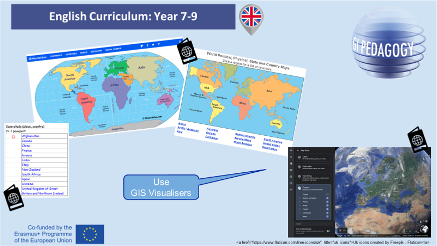 |
GIS Viewer |
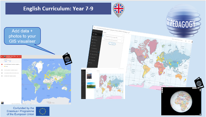 |
GIS Visualiser – add photos to Google My maps, then export the kmz file to ARCGIS online. |
Your turn!
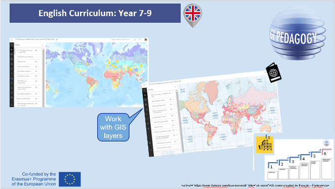 |
GIS Layers
|
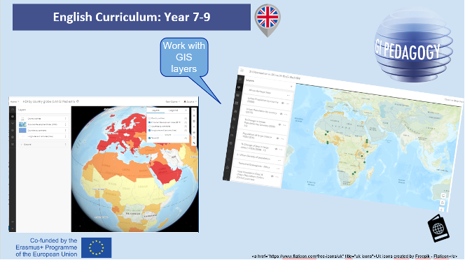 |
GIS layers
|
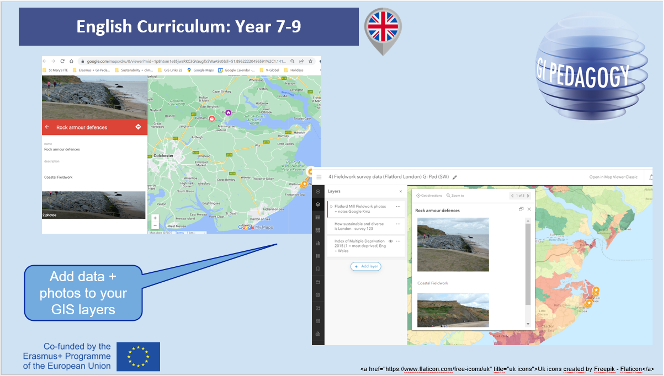 |
GIS Visualiser – add own data and photos |
In this folder all work material of this section.
