Similar Posts
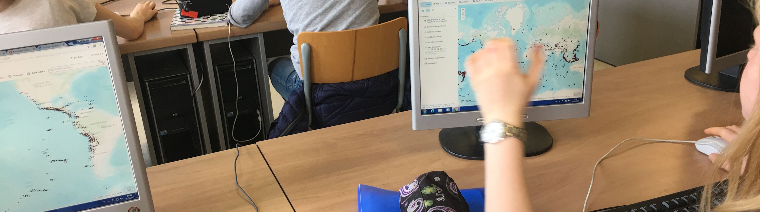
GIS as tool
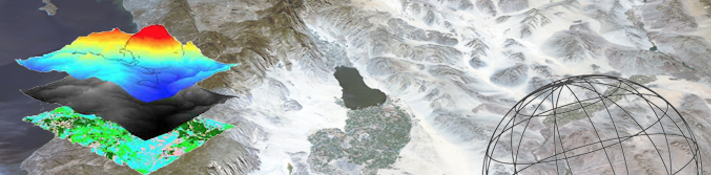
Because of its capabilities GIS is inherently an excellent vehicle in expressing the five themes of
geography, as defined by The Joint Committee On Geographic Education (1984): location, place,
relationships with places, movement and region.It’s essential
Space and location make spatial thinking a distinct, basic and essential skill that can and should be
learned in school education, alongside other skills like language, mathematics and science.Spatial data links
Analysing spatial data using GIS gives insight.